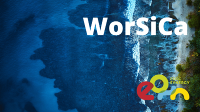
European-wide service for the detection of the coastlines changes, coastal inundation areas and inland waterbodies water detection
Description of the Result
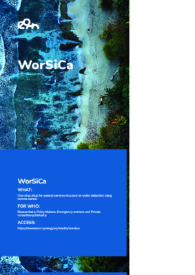
WorSiCa is a Europe-wide service for the detection of coastline changes, coastal inundation areas and water detection in inland water bodies. One-stop shop for several services focused on water detection using remote sensing, WorSiCa provides its users with the following specific services:
- Coastline and Inundation areas detection;
- In-land water bodies detection, and
- Leak detections in irrigation networks.
The WorSiCa service is entirely free of charge for the European research community. The service detects water, using public satellite imagery sources and private satellite or drone surveys provided by the users themselves, whilst maintaining their privacy. The service takes advantage of the robust and reliable EOSC IT services and computacional infrastructures, considering an open-source software approach and also the FAIR principles for the processed data.
The EOSC integration boosts the usage of WorSiCa at the European level. This enables research communities to generate maps of water presence and water delimitation lines in coastal and inland regions. These products are useful for emergency and prevention methodologies in case of inundations or reservoir leaks. In particular, the service promotes
- the preservation of lives during an emergency, supporting emergency rescue operations of people in dangerously inundated areas;
- the efficient management of water resources targeting water saving in drought prone areas.
Target audience/beneficiaries
The primary users of the WorSiCa service are researchers in coastal processes such as oceanographers, geologists, environmental and hydrology engineers, policymakers, and private consultancy companies in coastal area analysis. On the other hand, its potential impact in emergency prevention and mitigation makes it a valuable service for policy makers, emergency/rescue bodies, and private consultancy companies in coastal area analysis.
Added Value / Benefits
The benefits of the WorSiCa service are:
- By using the EOSC infrastructure services, the costs of maintenance and acquisition of computational power are no longer attributed to the research communities.
- The products delivered by the service will be widely used by the research communities and private companies in many distinct applications, that can range from inundation to inland water bodies characterization, or even to extreme events such as rain flows or damn ruptures.
- Avoid water loss and reduce water mains operation cost.
- Provide an early detection of water leakages in di cult-to-access
Use and Impact after EOSC Synergy
Worsica is available through the access point https://worsica.incd.pt. The provision of fast access to inundated areas to support emergency rescue operations of assets, the support for management decisions on hydraulic infrastructures operation to minimise damage downstream, has a very high economic impact potential
In November 2021 the Worsica team established a collaboration with G-Core to mitigate the problem related to the downloads of Sentinel satellite imagery from the ESA mirror servers.
WorSiCa Thematic Service Flyer [PDF]